UPDATE: Copperfield Fire in Klamath County reaches 2,500 acres amid evacuations
Published 2:00 pm Sunday, September 1, 2024

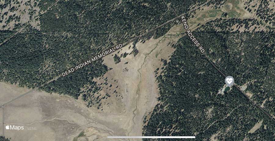
- The Copperfield Fire burns Sunday southeast of Chiloquin in Klamath County.
The Copperfield Fire, burning southeast of Chiloquin in Klamath County, had reached roughly 1,500 to 2,000 acres as of 8 p.m. Sunday, prompting Gov. Tina Kotek to invoke the Emergency Conflagration Act, according to a news release from the Oregon State Fire Marshal.
OSFM said Southern Oregon is under a Red Flag Warning through Monday evening, according to the release.
As of 9 p.m., the Klamath County Sheriff’s Office had issued Level 3 (Go Now) order notices for zones KLU-E061, KLU-E062, KLU-E063A, KLU-E064A, KLU-E073 and KLU-E111-B, according to the Watch Duty app.
A Level 1 (Be Ready) evacuation advisory had been issued for zones KLU-E035B and KLU-E060E, according to the app.
Sprague River Road has been shut down between Williamson River Road and Lone Pine Road, according to a Facebook post from the sheriff’s office.
For people evacuating west, the Chiloquin Community Center, at 140 S. 1st Ave. in Chiloquin, has been turned into an emergency shelter.
Klamath Falls Fairgrounds Linman Hall, at 3531 S. 6th St. in Klamath Falls, is also in use as an evacuation point, according to the Klamath County Emergency Management website.
Residents going east on Sprague River Road are advised to get to the town of Sprague River, the Oregon Department of Forestry said in a Sunday night release.
Evacuation statuses can be found on the county emergency management website.
The fire began at about 3 p.m. Sunday. An hour and a half later, it had drawn six engines, five air tankers, two helicopters, two water tenders and four bulldozers, with additional resources en route, ODF said.
Fire crews will work overnight to try to contain the blaze, which spread amid dry conditions and wind gusts close to 40 miles an hour, according to the OSFM release.
“The weather drove this fire, and Oregon will continue to face challenging weather conditions over the next three weeks. Fire season isn’t over yet and I encourage everyone to stay vigilant,” OSFM Chief Deputy Travis Medema said in the release. “I cannot thank our incident management teams and task forces headed to this fire enough. They have had a busy season and responded no matter the time, no matter the situation.”
On Monday, the OSFM Red Incident Management Team will join ODF Incident Management Team 3 in unified command of the fire, according to the release. Over half a dozen task forces have also been mobilized.
Copperfield Fire updates can be found at the South Central Oregon Fire Management Partnership Facebook page.
This is a developing story and will be updated as needed.
The Copperfield Fire burning 5 miles southeast of Chiloquin in Klamath County grew by 500 acres overnight and is listed at 2,500 acres, officials said Monday morning.
Oregon Department of Forestry’s Incident Management Team 3 was mobilized Sunday night and will enter unified command with the Oregon State Fire Marshal’s Red Team at 6 p.m. Monday, according to a news release.
“Resources were successful overnight in laying dozer line from the heel of the fire and up the east and west flanks. Today, they will continue to work on creating dozer line along the north side of the fire to stop forward progression,” the release said. “Multiple air resources are on order today to help with suppression efforts.”
Southwest to west winds are expected to challenge the eastern fire lines throughout Monday, according to fire officials.
“Due to unfavorable weather conditions, this is a rapidly evolving incident,” said Teresa Williams, Klamath-Lake District forester. “We’re grateful to have the help of the incident management teams in managing and working to contain this fire and protect our communities.”
The National Weather has issued a Red Flag Warning for the area until 8 p.m. Monday due to strong winds with gusts up to 40 mph and low humidity.
The Klamath County Sheriff’s Office has declared Level 3 (Go Now) evacuations east of Chiloquin. To check your evacuation status and for evacuation information, please visit https://www.klamathcounty.org/300/Emergency-Management. Road closures are still in place from mile marker 5-15 on Sprague River Highway.
See the Rogue Valley Times’ previous coverage below. Check back at rv-times.com for updates as warranted.


2025 Community Choice Awards

-

-
-